
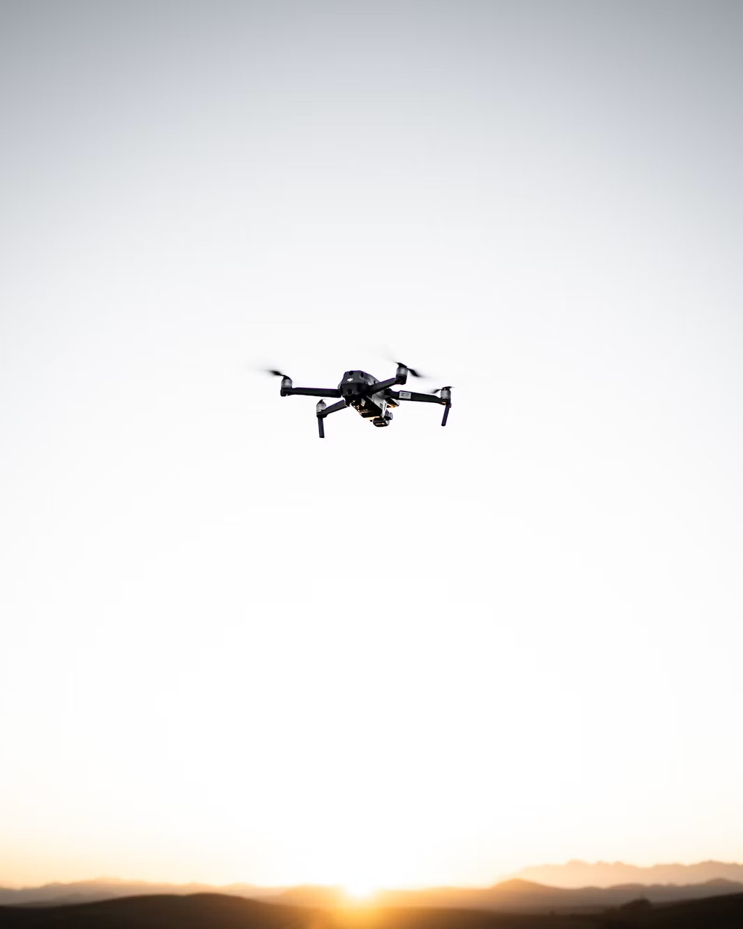
🚁 Path-Specific
Drone Technology Path
From flight physics and safety rules to professional aerial survey missions — a complete 4-level journey into drone technology.
4
Courses
L1–L4
All Levels
4
Missions
💎
Grandmaster + Cert
🎯 What You Will Learn
✔ Understand flight physics — lift, thrust, drag, torque and stability
✔ Know DGCA/safety regulations, airspace rules and responsible drone use
✔ Identify and work with ESCs, motors, flight controllers, GPS and FPV cameras
✔ Program autonomous flight paths using waypoints and geofencing
✔ Plan and execute multi-point inspection and survey missions
✔ Understand payload integration — cameras, sensors, delivery systems
✔ Conduct a professional aerial survey with mapped data deliverables
✔ Earn Drone Grandmaster badge and 4 level completion certificates
📚 Your Progression Path
🛠️ Missions Across Your Journey
L1
Safety Certification Hover — Complete pre-flight checklist and controlled hover in a safe zone
L2
Controlled Flight Manoeuvres — Execute a programmed waypoint flight path with precision landing
L3
Inspection Mission — Autonomously inspect a multi-point route and photograph targets
L4
Aerial Survey — Professional-grade aerial survey with orthomosaic mapping deliverables
🏆 Rewards & Recognition
🥉🥈🥇💎4 Drone Milestone Badges
📜4 Level Drone Certificates
⭐Full Drone XP Track
🚁Drone Grandmaster Badge
👦 Who This Pass Is For
🚁 Students fascinated by drones, FPV flying or aerial technology
🌍 Future aerospace, surveying or agricultural tech professionals
📸 Content creators who want to master aerial photography and videography
🏆 Drone racing and competition enthusiasts seeking structured skills
Skill Level: Beginner